Services
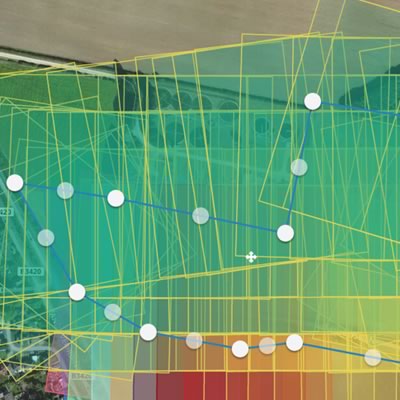
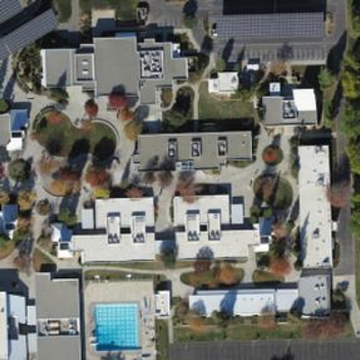
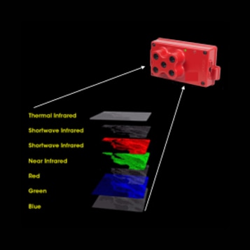
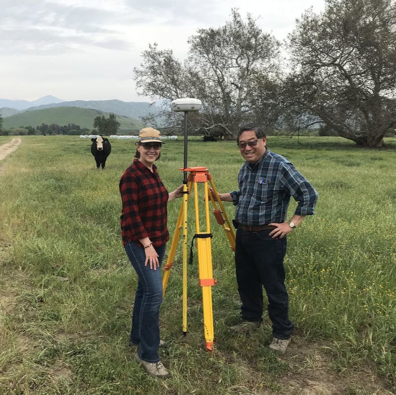
From aerial acquisition to delivery of final mapping products, GeoWing is a full-service mapping firm offering mapping solutions “from the ground up” – land survey, terrestrial image capture, UAS nadir and oblique imagery, and manned aircraft systems equipped for numerous remote sensing options. Each project is unique and requires careful consideration of the best mapping tool for the job. GeoWing is expert in addressing challenges such as steep terrain, heavy vegetation canopy, marsh lands, tall buildings, and weather.
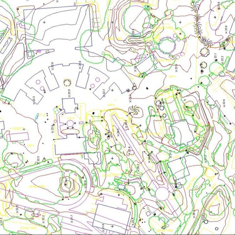
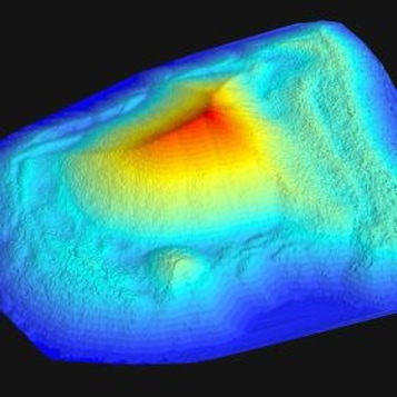
GeoWing has developed in-house data processing workflows to increase efficiency while maintaining quality and accuracy. The experience of our mapping specialists enables us to deliver an array of traditional and innovative mapping solutions – including orthophotography, digital terrain models, topographic maps, 3D models, GIS services and lidar mapping.
GeoWing has developed in-house data processing workflows to increase efficiency while maintaining quality and accuracy. The experience of our mapping specialists enables us to deliver an array of traditional and innovative mapping solutions – including orthophotography, digital terrain models, topographic maps, 3D models, GIS services and lidar mapping.