|
|
|
WHAT WE DO
We offer over 50 years of experience in designing aerial acquisition and mapping products and services to provide geospatial information to our clients.
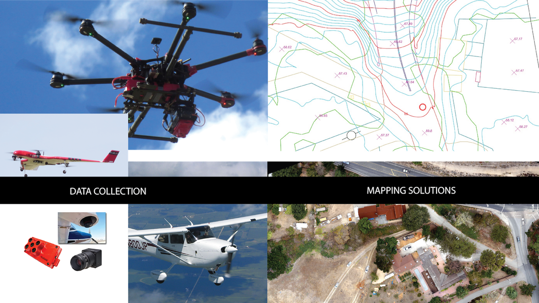
DATA ACQUISITIONWe don’t believe in only offering one mode of geospatial data collection. Whether flying a conventional aircraft, or deploying one of our FAA-authorized UAS, our collection methods are based on maximizing efficiency while meeting the needs of every project.
|
MAPPING SOLUTIONSGeoWing has developed in-house data processing workflows to increase efficiency while maintaining quality and accuracy. The experience of our mapping specialists enables us to deliver an array of traditional and innovative mapping solutions.
|
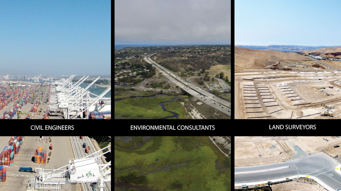
CONSULTINGOur first priority is understanding the unique requirements for your project. We understand that not all projects are the same and therefore not all maps are the same! Our team of experts will ensure your problems are addressed and you are satisfied with your end product.
|

